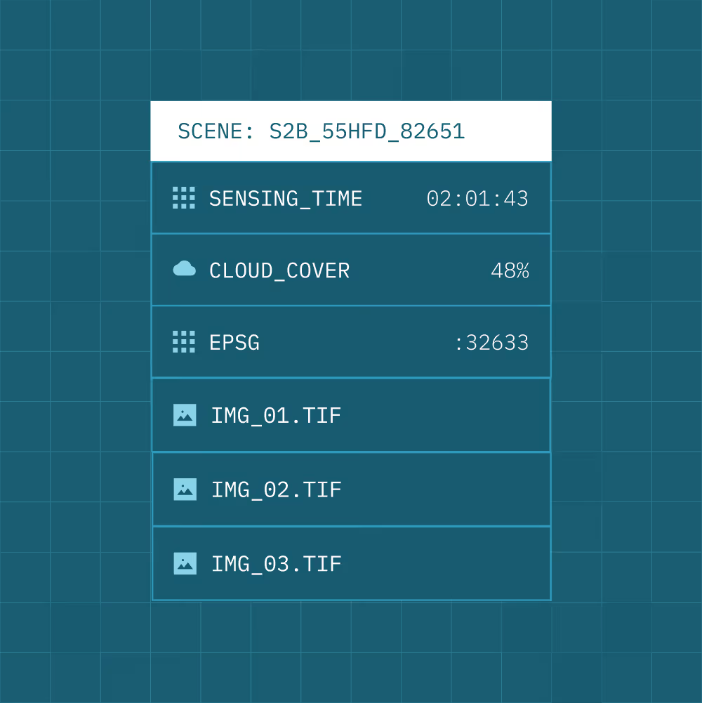
STAC-based structure
Normalise imagery into a consistent, standards-based catalogue.
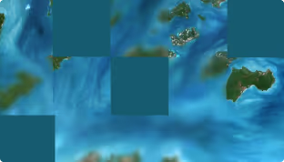
Cloud Optimised GeoTIFF (COG)
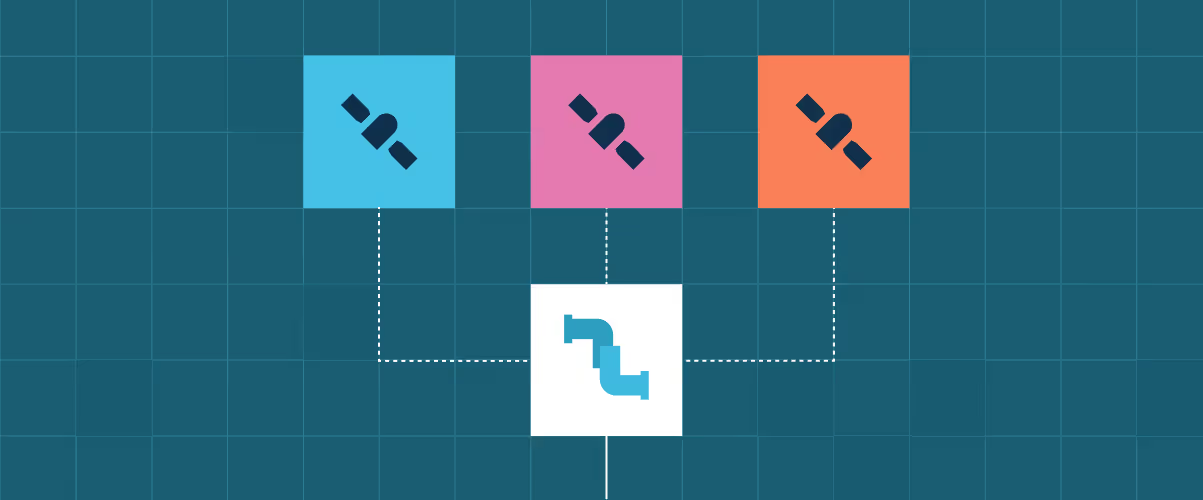
Handle execution order and interdependencies across processing steps.
Quality layers and annotations
Generate and standardise metadata as part of ingestion.
Consistent structure across providers
Eliminate format and schema inconsistencies between sensors and suppliers.
Analysis-ready outputs
Ensure data is ready for analytics and automation pipelines on ingestion.
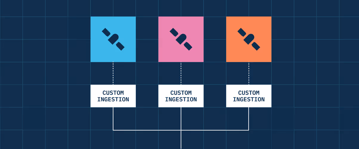
Accelerated onboarding
Integrate new sensors and missions without custom restructuring.