Operational infrastructure for Earth Observation
Arlula automates how Earth observation data is discovered, tasked, sold, delivered, and governed – reliably and at scale with your existing systems.
Trusted by leading Earth observation organisations worldwide

Earth Observation Data Infrastructure that runs alongside your stack
API first
Integrate quickly and automate reliably through well-structured, production-grade APIs.
Modular & containerised
Deploy only what you need and scale components independently as demands grow.
Built to be built on
Extend the platform with your own workflows, tools, and proprietary systems.
Public or private cloud
Run Geostack where your data and compliance requirements demand.
Arlula integrates with your existing operations
Designed to slot in, then scale with you
Speak to our teamUnderstand your environment
Arlula starts by mapping existing EO workflows, systems, operators, and constraints.
Integrate, don’t replace
Modules are introduced into current infrastructure via APIs and automation, with no forced migration.
Expand as needed
Teams extend usage gradually as operational needs evolve.

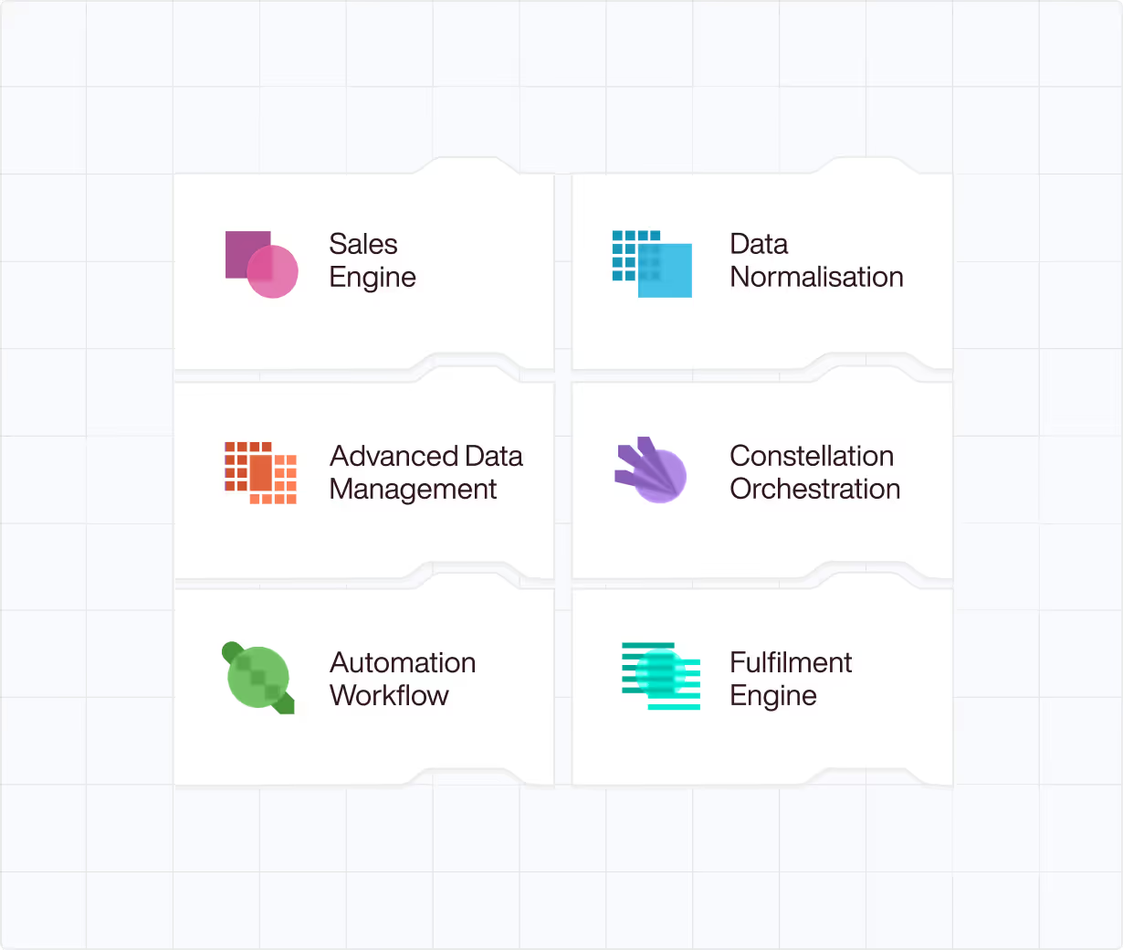
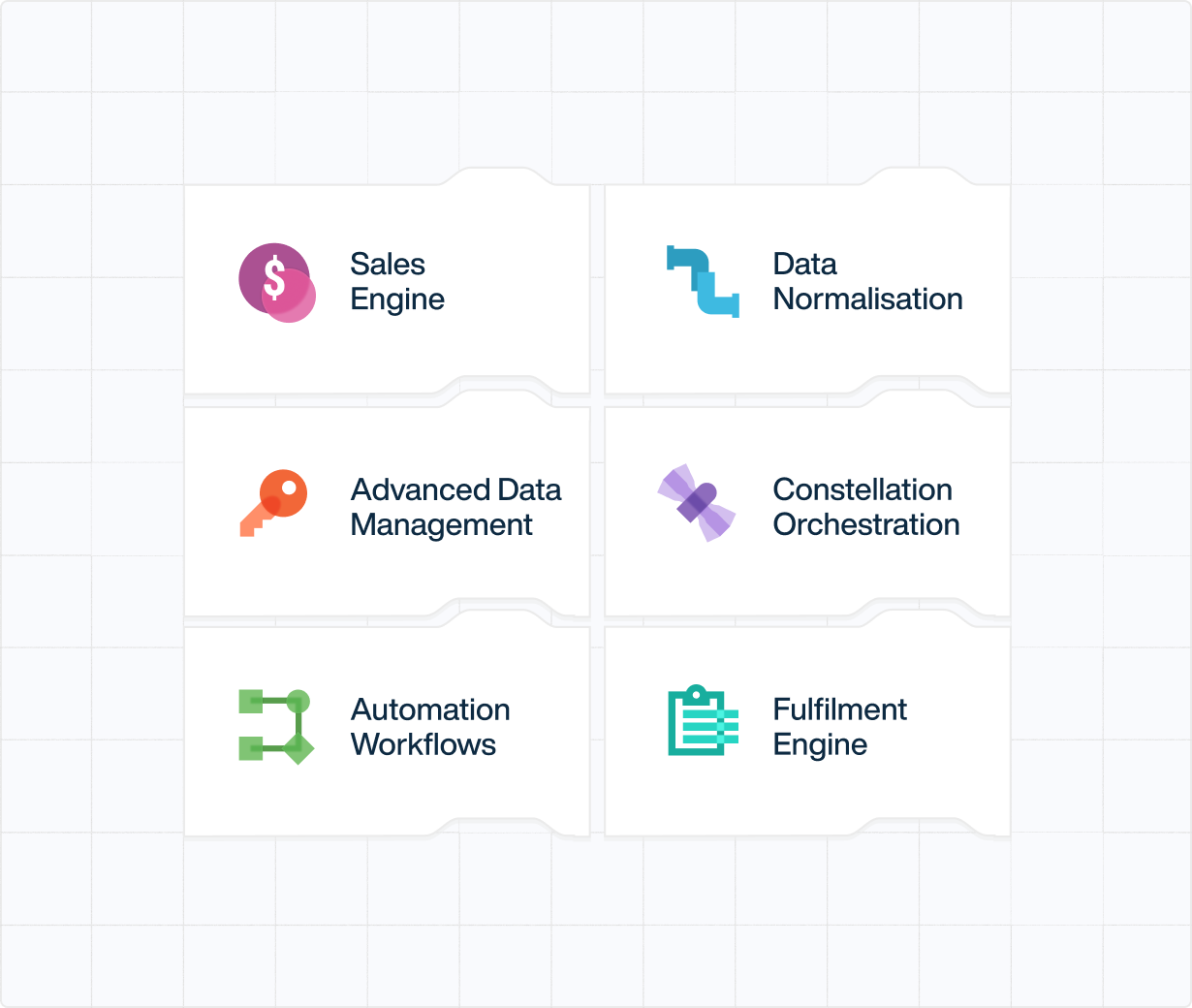
Meet Geostack
One infrastructure layer. Six modular components.
Geostack brings order to how your EO actually runs. Empowering you to connect commercial, operational and technical workflows through a modular infrastructure layer.
Use one component or combine several without reworking your existing systems.
Sales Engine
Commercialise Earth Observation Data at scale
Turn fragmented EO sales into a modern, self-service commercial layer without losing control over high-value relationships.
- Let customers discover, price and request imagery through a secure interface
- Automate quoting, billing and entitlements without building a custom marketplace
- Scale revenue without scaling manual sales operations
Data Normalisation Pipeline
Make EO data interoperable and cloud ready
Standardise imagery and metadata at ingestion so downstream systems work reliably at scale.
- Convert imagery to STAC-based, cloud-optimised formats
- Eliminate inconsistencies across sensors and suppliers
- Ensure data is analysis-ready the moment it arrives
Discover
Automation Workflows
Automate geospatial processing from end to end
Build and run production-grade EO pipelines without brittle scripts or manual handoffs.
- Orchestrate tools, dependencies and execution across systems
- Monitor workflows with full observability and failure recovery
- Move from capture to analysis-ready outputs faster and more reliably
Discover
Fulfilment Engine
Unified ordering and delivery across providers
Standardise how archive imagery is ordered, satellites are tasked and data is delivered across commercial and national systems.
- Replace swivel-chair workflows with a single, trusted interface
- Deliver imagery directly into secure cloud or on-prem environments
- Deliver reliably, even as volume and urgency increase
Discover
Advanced Data Management
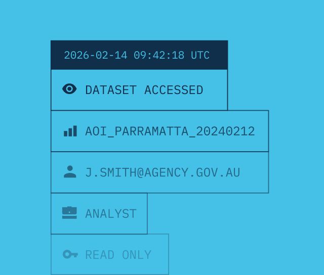
Secure, enterprise-scale control of spatial data
Govern access, licensing and usage across sensitive EO datasets without creating silos.
- Build a unified internal archive of spatial data assets
- Enforce fine-grained access controls at user and API level
- Maintain full auditability for defence and enterprise compliance
Discover
Constellation Orchestration
Automated satellite scheduling at any scale
Generate and maintain optimised capture schedules across single satellites or full constellations.
- Evaluate tasking requests against orbital and sensor constraints
- Resolve conflicts and capacity trade-offs automatically
- Increase utilisation without expanding scheduling teams
Discover
Arlula is made for organisations where EO data is part of day-to-day operations, not one-off analysis.
Book a call
Designed for scale, governance, and long-term use
Arlula is built for environments where EO systems are expected to hold up under scrutiny.
Read docs

Operational scale
Designed to support high-volume, time-sensitive EO workflows across multiple operators without manual coordination.
Governance by default
Access control, licensing awareness, and auditability are built into the infrastructure from day one.
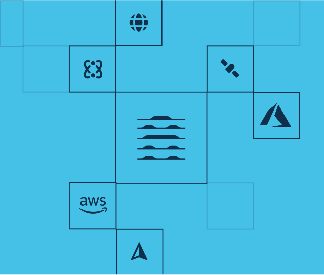
Neutral infrastructure
Works across vendors, constellations, and clouds without lock-in or resale conflict.
Built with your requirements in mind
✓ Enterprise grade security
✓ Audit ready by design
✓ API first architecture
✓ Modular by design
✓ Vendor neutral infrastructure
✓ Public or private cloud
✓ Standards based interoperability
✓ Granular access control
✓ Licensing aware
✓ Enterprise grade security
✓ Audit ready by design
✓ API first architecture
✓ Modular by design
✓ Vendor neutral infrastructure
✓ Public or private cloud
✓ Standards based interoperability
✓ Granular access control
✓ Licensing aware