
News
How Near Real-Time Satellite Imagery is Revolutionising Earth Monitoring
In this article, we’ll explore the significance of real-time satellite imagery and its impact on earth monitoring.

Why Use Satellite Imagery For Your Business?
A guide on to get the most out of high-resolution satellite imagery for your business.
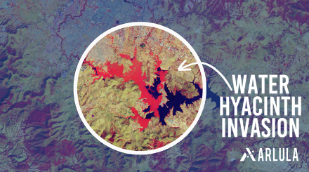
Detecting Invasive Species with Satellite Imagery
The consequences of invasive species can be devastating. Satellite imagery and data offers a game-changing solution to the detection and control of invasive species.
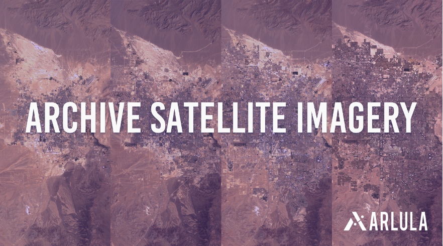
The Value of Archive Satellite Imagery
Delve deeper into what archive satellite imagery is, the significance of historical satellite imagery and the best practices for leveraging this invaluable resource.
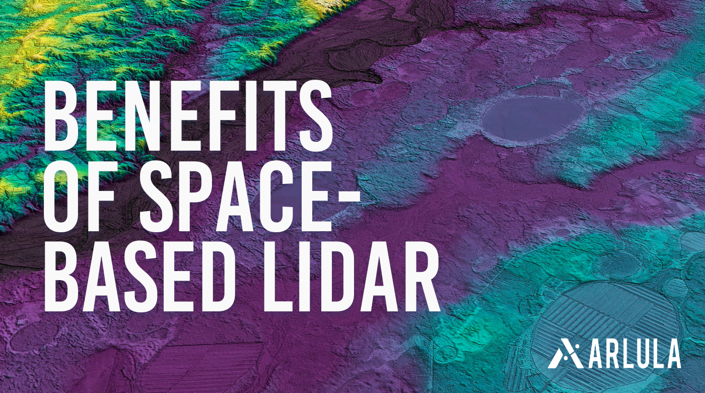
Space-Based LiDAR: Revolutionising the Environmental, Infrastructure and Agriculture Industries
Explore how NUVIEW is revolutionising the environmental, infrastructure and agriculture industries with space based LiDAR.

Axelspace and Arlula Announce Integration for Enhanced Satellite Imagery Access
Arlula, a leading platform for accessing satellite data, is excited to announce its partnership with Axelspace, a leading Japanese provider and a pioneer of microsatellite technology.