
News
Arlula and NTT DATA Partner to Support Japanese Government Satellite Mission
Arlula is thrilled to announce a strategic partnership with NTT DATA aimed at transforming satellite mission operations and enhancing Earth Observation capabilities.
Understanding Geospatial Data Silos
In this blog, we’ll delve into what geospatial data silos are, common challenges, and how to overcome them to fully leverage the power of your spatial data.
Arlula Joins Maxar Intelligence’s Partner Ecosystem
Arlula has joined Maxar Intelligence’s Partner Ecosystem to better support scaled management and sharing of critical geospatial data.

Why Your Earth Observation Mission Needs an API
Both hyperspectral and multispectral satellite imagery are valuable earth observation technologies, providing users with visualisations of “invisible” characteristics. What’s the difference?
Arlula Collaborates With GEOSAT To Bring High-Resolution EO Data To The Commercial Market
Arlula is excited to announce a new partnership with GEOSAT, one of Europe's leading providers of Earth observation satellite imagery and data analytics.
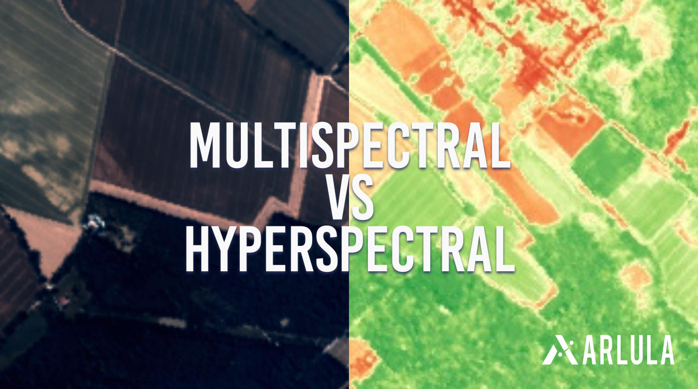
Multispectral Vs Hyperspectral Satellite Imagery
Both hyperspectral and multispectral satellite imagery are valuable earth observation technologies, providing users with visualisations of “invisible” characteristics. What’s the difference?