
Transform Asset Management with Satellite Data
Monitor assets remotely, identify patterns and respond to changes quickly with cutting-edge high resolution satellite imagery.
OUR EARTH OBSERVATION PARTNERS INCLUDE


Regular and up-to-date monitoring
Satellite data can provide regular and up-to-date monitoring of assets, such as infrastructure, buildings, and land. This can help detect changes and potential problems early on, allowing for timely intervention and maintenance.

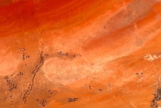
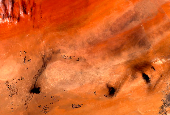
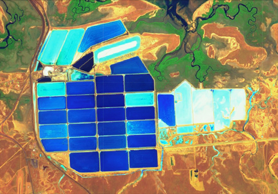
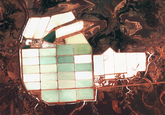
Monitor remote assets at scale
Satellite data can be used to remotely monitor assets in hard-to-reach or hazardous areas, such as offshore oil rigs, pipelines, and mines. This can reduce the need for physical inspections, saving time and resources. Our data can cover large areas, allowing for monitoring of assets on a regional or global scale. This can be especially valuable for monitoring natural resources, such as forests and water bodies, and for tracking global trends, such as urbanization and land use change.
Monitor remote assets at scale
Satellite imagery can be used to remotely monitor assets in hard-to-reach or hazardous areas, such as offshore oil rigs, pipelines, and mines. This can reduce the need for physical inspections, saving time and resources. Our data can cover large areas, allowing for monitoring of assets on a regional or global scale. This can be especially valuable for monitoring natural resources, such as forests and water bodies, and for tracking global trends, such as urbanization and land use change.
Order management tools
Our platform simplifies the procurement, management, and standardisation of datasets from multiple satellite operators, allowing customers to focus on their primary business activities rather than data management. User-friendly features ensure that data consumers can quickly access and use EO data, driving innovation and progress across a wide range of industries.
Monitor multiple locations
Arlula gives you the ability to efficiently monitor numerous sites around the world. Our vast supplier network and robust management tools allow you to automate the procurement of satellite imagery for any number of Areas of Interest (AOIs). If you’d like to learn about basic pricing, feel free to use the simple calculator below.