Make better decisions with satellite imagery
Satellite imagery offers us a unique perspective to gain insights and solve problems in a variety of industries on Earth. Arlula has created a global network of leading data suppliers and developers, giving people the power to derive actionable insights at scale with greater efficiency.
Make better decisions with satellite imagery
Satellite imagery gives people a unique perspective to gain insights and solve problems in a variety of industries on Earth.
Arlula has created a global network of leading data suppliers and developers that allows people to derive actionable insights at scale with greater efficiency.
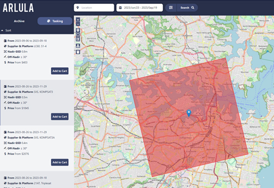
Satellite Tasking
The Arlula Tasking platform offers a streamlined approach to acquiring new satellite imagery. Our integrated solution allows users to effortlessly place tasking orders, receive feasibility, pricing, and download imagery seamlessly all within the Arlula platform.
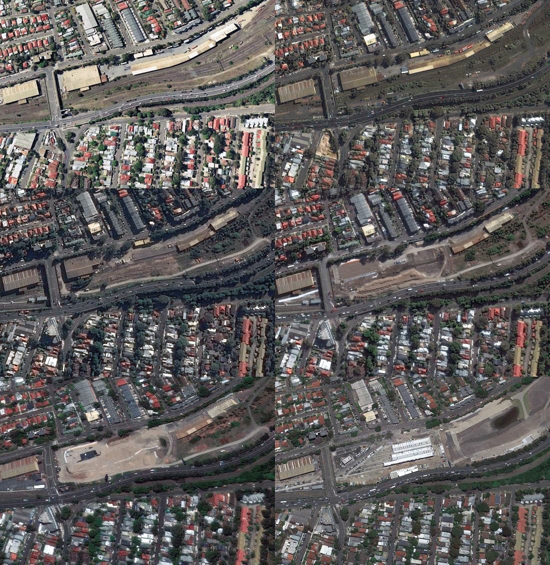
Extensive historical archive
Dive deep and gain access to decades of satellite imagery from around the world. Arlula has aggregated extensive satellite imagery archives from our global network of data suppliers to ensure you have a full picture of the Earth.
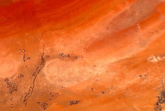
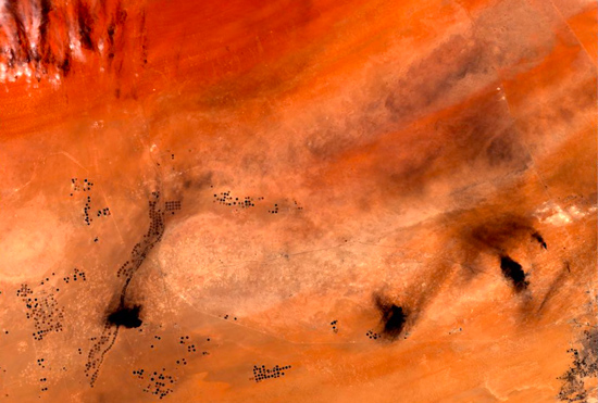
Remote asset management
Monitoring buildings, machinery and other key assets isn’t always possible. Satellite imagery gives you a view over practically anywhere in the world, allowing you to save time, money and overcome practical limitations.
Predictive modeling
From agriculture to smart cities – satellite imagery datasets can provide incredibly accurate and detailed insights in a range of industries. Arlula works with companies and Universities solving unique problems using advanced algorithms and satellite imagery data.
Commercial intelligence
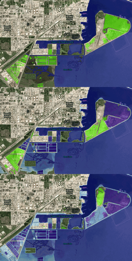
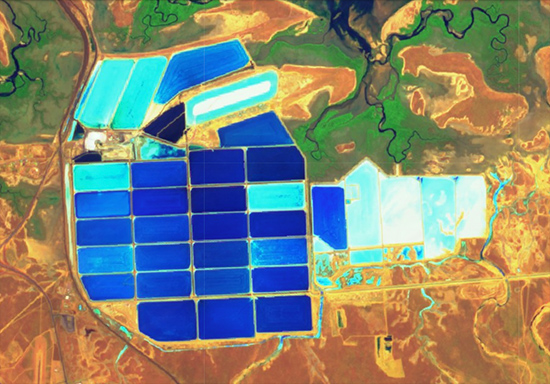
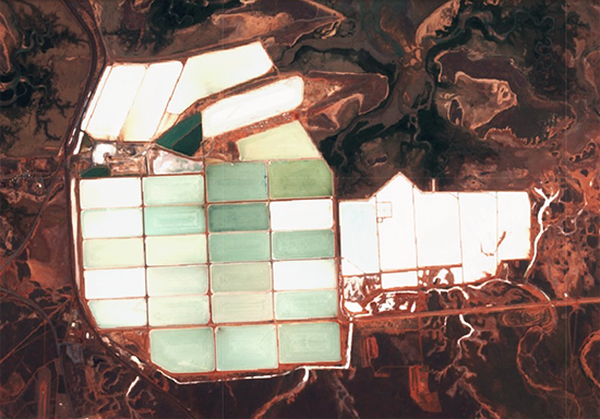
A top down view of the world provides users with a unique perspective to gain insights about customers, competitors and the business environment. SWIR and inSAR datasets allow you to gain insights that may not be present in regular optical imagery.
Disaster response
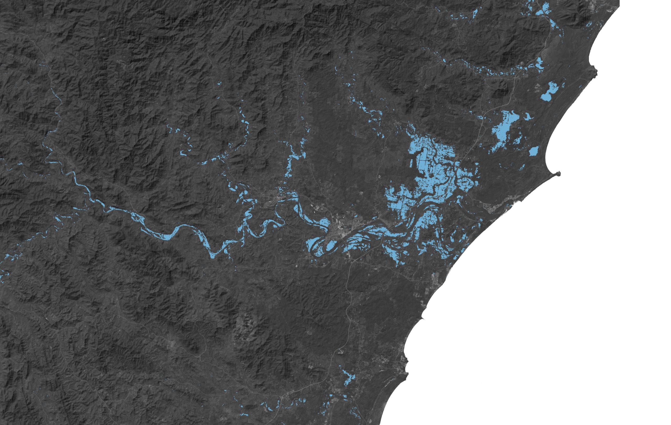
Government organisations and emergency response professionals can use satellite imagery to evaluate natural disasters, create response plans, and develop techniques to reduce chances of a disaster occurring again and improve preparedness if it does.
OUR DATA PARTNERS INCLUDE


