Satellite Tasking: A Versatile Solution for Monitoring Applications
Tasking has proven to be a valuable earth observation tool within many different industries. On-demand satellite imagery can be used to effectively monitor environmental changes, analyse human activity, and manage emergency responses. Different sensor types maximise the quality of data received. Whether regularly measuring stockpiles, monitoring deforestation, or responding to a natural disaster, satellite tasking remains an invaluable resource providing frequent and up-to-date information without having to physically visit the observation site. Here we will take a look into how tasking can be used as a monitoring tool in a few popular industries:

1. Mining
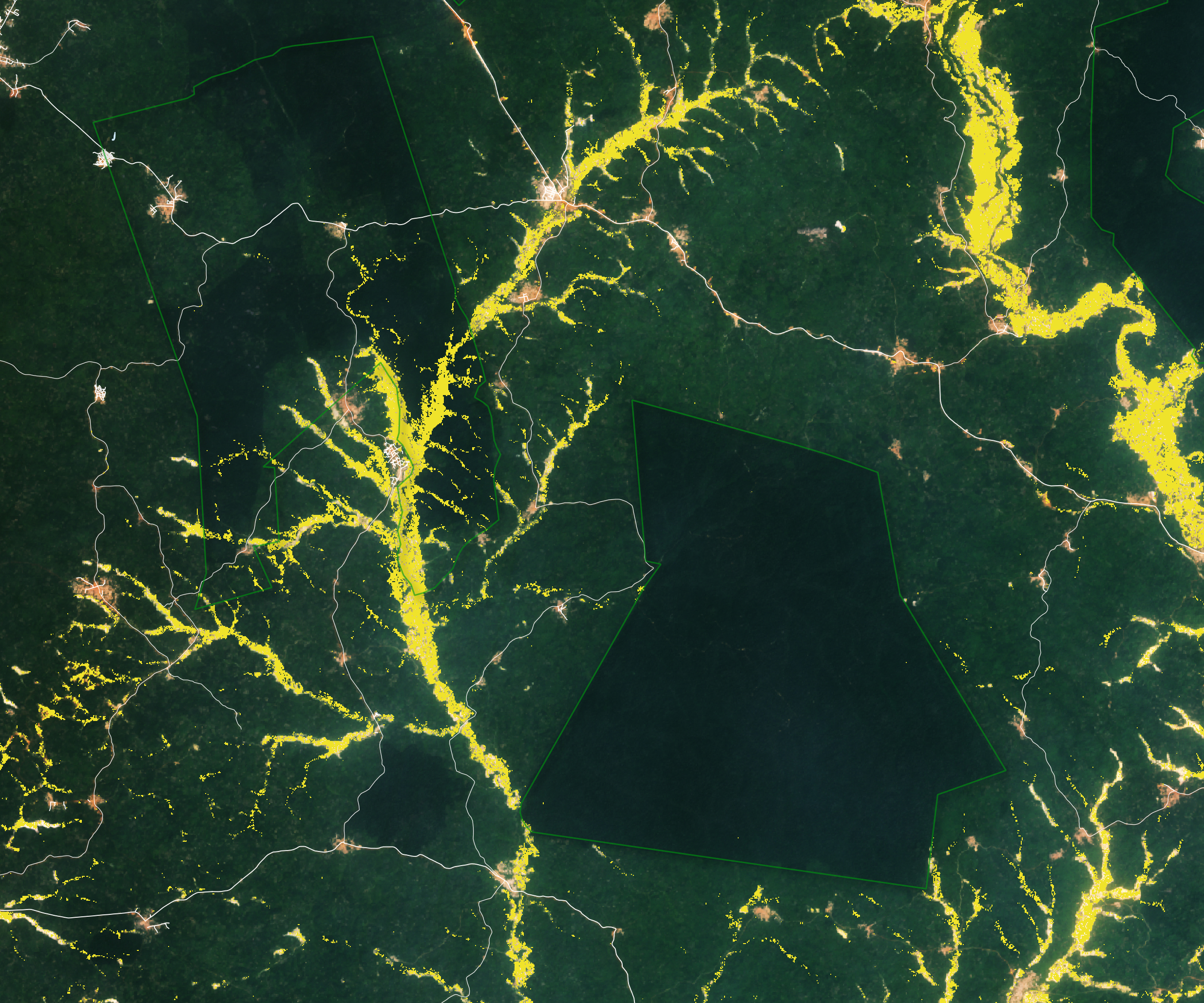
In mining operations, it is essential to observe site locations. Tasking provides an efficient way to monitor mining sites at all stages. Whether it be measuring stockpiles on a regular basis or mapping areas, satellite imagery is a supportive asset in this regard.
Gold mining areas in Ghana. Captured by Landsat 2015-2020.
2. Forestry
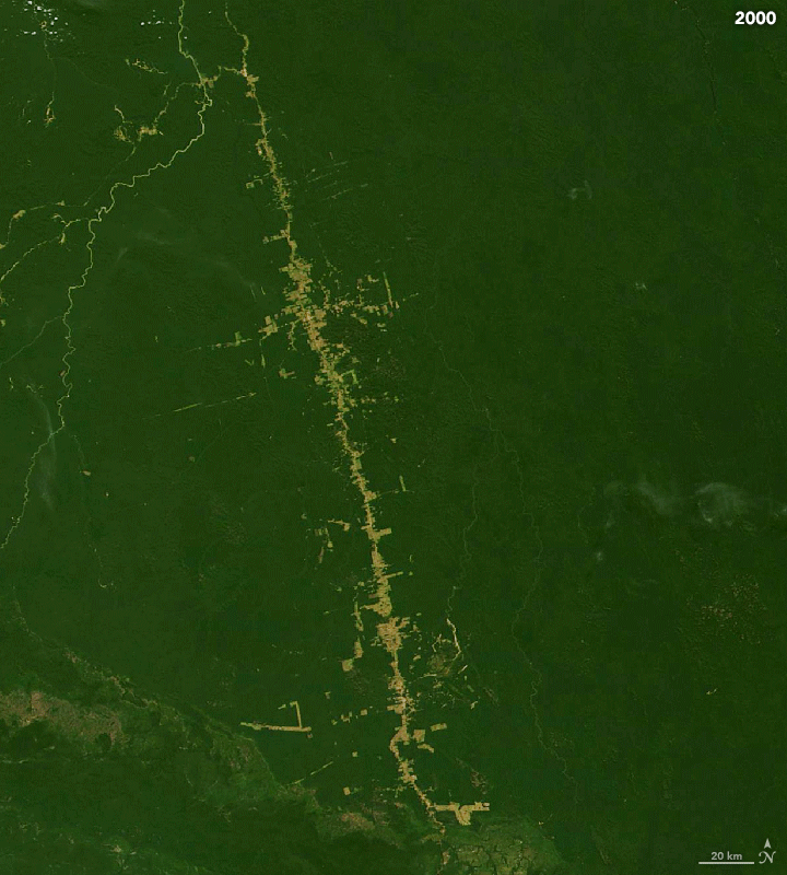
Satellite imagery has been an important resource in measuring the amount and severity of deforestation. Forest loss has occurred from both human activities and natural causes. Tasking high quality satellite imagery can be a useful tool in regularly monitoring these changes, in order to develop and implement effective protection measures.
Tracking Amazon deforestation. Captured by Landsat June 2000- June 2019
3. Residential Land Management
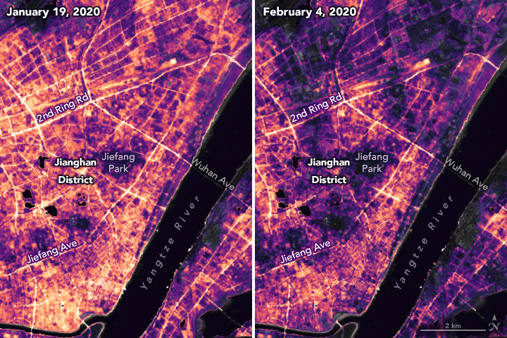
Tasking can be a helpful tool to land managers and urban developers. Its applications include monitoring building regulation, enforcing zoning laws, evaluating road or land use, and assisting with mapping and planning procedures. Satellite tasking helps to provide frequent and up to date information in these important decision making processes.
Nighttime images evaluating energy use, migration, and other human activity after transport and businesses closed due to Covid-19.
Captured by Suomi NPP- VIIRS on 19 January and 4 February 2020.
Benefits
There are many benefits to using tasking for monitoring projects. One, users are able to frequently receive updated information. Tasking provides the ability to repeatedly schedule high quality imagery captures in order to effectively monitor sites in real time. Secondly, pricing is transparent. Pricing can easily be compared between providers in order to ensure users receive the best solution to their project and budget needs.
In summary, tasking has emerged as a significant and valuable tool within the Earth Observation field, spanning a multitude of industries. The possibilities enabled by on-demand satellite imagery as a monitoring tool are substantial, as exemplified by its application within the mining, forestry, and residential land management sectors.
Common Questions
Want to keep up-to-date?
Follow us on social media or sign up to our newsletter to keep up to date with new product releases and case studies.