
NASA Landsat Satellite Imagery
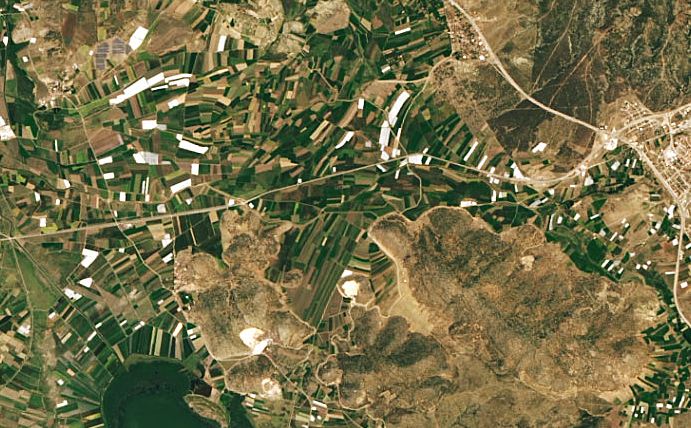
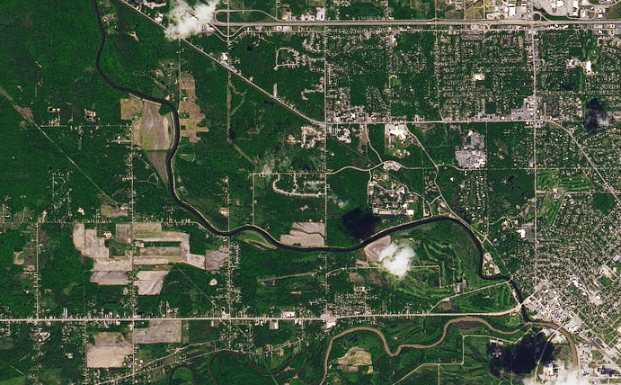
The Landsat Program is a series of Earth-observing satellite missions jointly managed by NASA and the U.S. Geological Survey. Beginning in 1972 the program has amassed an unmatched archive of imagery with the optimal resolution and spectral bands to track land use, and document land change due to climate change, urbanization, drought, wildfire, biomass changes, and other natural and human-caused changes. The Arlula API has standardised Landsat data product types for enhanced accessibility.

Launched in 1999 and still operational, LANDSAT-7 has been accumulating an 8 band multispectral imagery archive with vast use cases for over two decades.
Sensor: 4 band multispectral (RGB + NIR).
Resolution: Up to 15m.
Use cases: Mapping, land classification, monitoring.
Revisit frequency: 16 days.
Pricing: FREE through the Arlula API.
File type: Bundled GeoTIFF.
Status: On orbit- archive available.
Launched in 2013, LANDSAT-8 expands and improves the extensive Landsat imagery archive. With 11 spectral bands, it produces rich data products.
Sensor: 4 band multispectral (RGB + NIR).
Resolution: Up to 15m.
Use cases: Mapping, land classification, monitoring.
Revisit frequency: 16 days.
Pricing: FREE through the Arlula API
File type: Bundled GeoTIFF
Status: On orbit – archive available.