
MAXAR Satellite Imagery
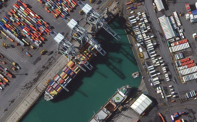
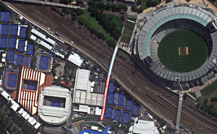
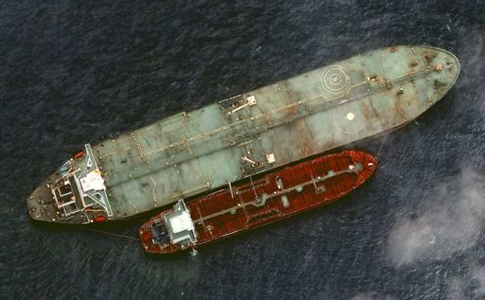
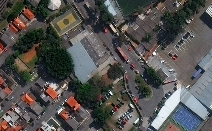
MAXAR operates the highest resolution commercial Earth imaging satellites on the market. If your project requires the highest resolution imagery available, then MAXAR’s WorldView Legion, WordlView-3 and WorldView-4 satellites will likely suit your need. The Arlula API has standardised Maxar data product types for enhanced accessibility.
WorldView Legion is the next generation of Maxar’s EO constellation. Industry- leading precise geolocation accuracy and very high-resolution 8-band multispectral commercial satellite.
Sensor: 8 band multispectral (RGB + VNIR).
Resolution: 30cm
Use cases: Design & planning, insurance, agriculture.
Revisit frequency: Up to 15/day.
Pricing: View updated pricing table.
File type: Pansharpened GeoTIFF.
Status: On orbit – new collections & archive available.
Launched in 2009, WorldView-2 is the first high-resolution 8-band multispectral commercial satellite.
Sensor: 4 band multispectral (RGB + NIR).
Resolution: 46cm (pan), 1.85m (ms)
Use cases: Design & planning, insurance, agriculture.
Revisit frequency: Up to 1.1 days.
Pricing: View updated pricing table.
File type: Pansharpened GeoTIFF.
Status: On orbit – new collections & archive available.
WorldView-3 is the industry’s first multi-payload, super-spectral, high resolution commercial satellite.
Sensor: 4 band multispectral (RGB + NIR).
Resolution: 31cm (pan), 1.24m (ms), 3.7m (swir).
Use cases: Design & planning, insurance, finance.
Revisit frequency: < 1 day.
Pricing: View updated pricing table.
File type: Pansharpened GeoTIFF.
Status: On orbit – new collections & archive available.
Sensor: 4 band multispectral (RGB + NIR).
Resolution: 31cm (pan) and 1.23m (ms).
Use cases: Design & planning, insurance, finance.
Revisit frequency: N/A.
Pricing: View updated pricing table.
File type: Pansharpened GeoTIFF.
Status: Decommissioned – extensive archive available.
Sensor: 4 band multispectral (RGB + NIR).
Resolution: 41cm (pan) and 1.65m (ms).
Use cases: Urban planning, insurance, finance.
Revisit frequency: 3 days.
Pricing: View updated pricing table.
File type: Pansharpened GeoTIFF.
Status: On orbit – new collections & archive available.
Launched in 2001 Quickbird was the world’s second commercial high resolution satellite.
Sensor: 4 band multispectral (RGB + NIR).
Resolution: 61cm (pan) and 2.40m (ms).
Use cases: Planning, insurance, finance, agriculture.
Revisit frequency: 2.4 days.
Pricing: View updated pricing table.
File type: Pansharpened GeoTIFF.
Status: Decommissioned – extensive archive available.