
Automate with Arlula
An out of the box integration solution for EO missions
Automate with Arlula
An out of the box integration solution for EO missions
Unlocking the full potential of Earth Observation missions often requires labor intensive processes that are costly and inefficient. Manually managing vast archives, coordinating satellite tasking, and overseeing sales processes creates a bottle neck in the productivity and capacity of your mission.
Why APIs?
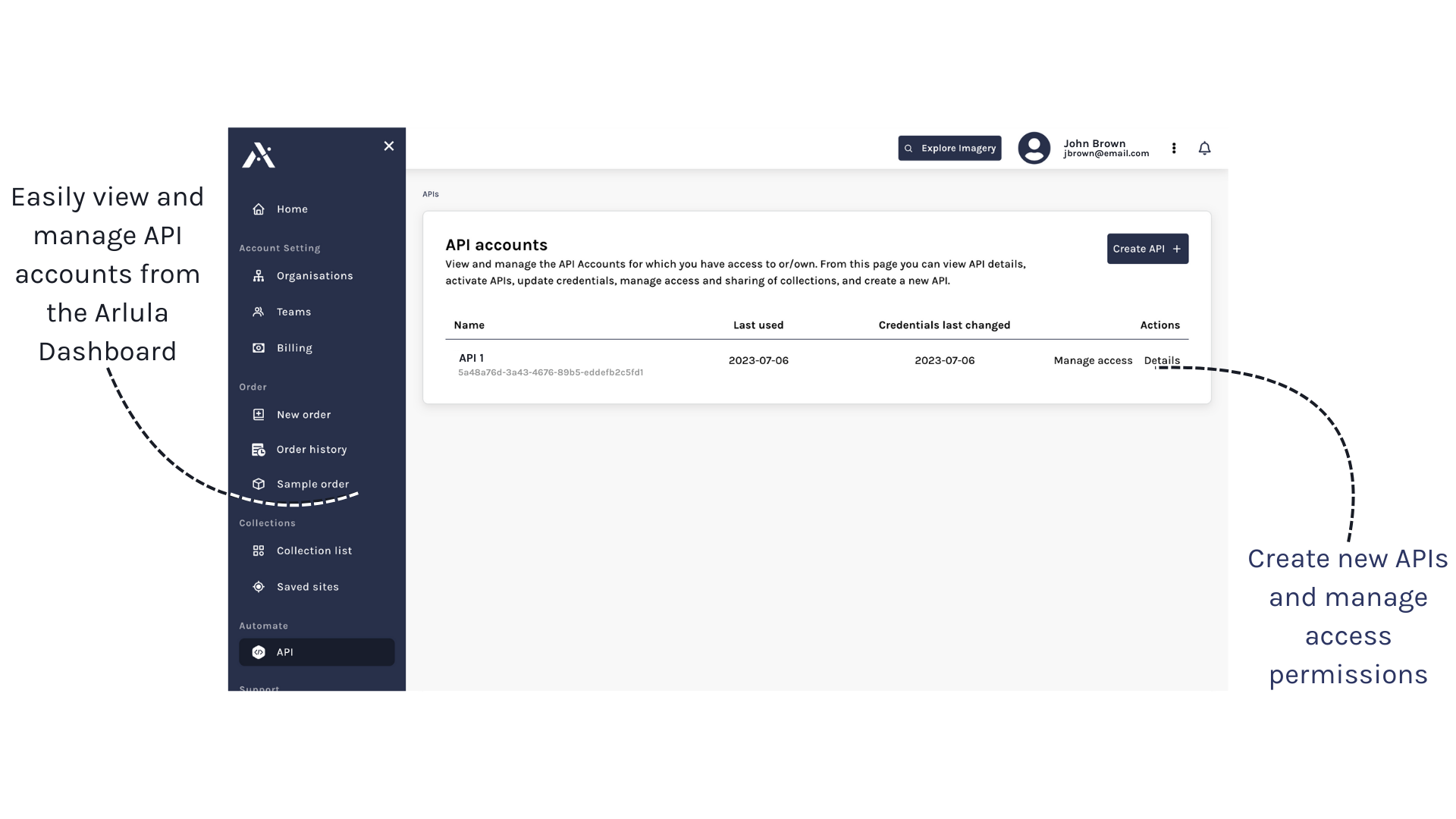
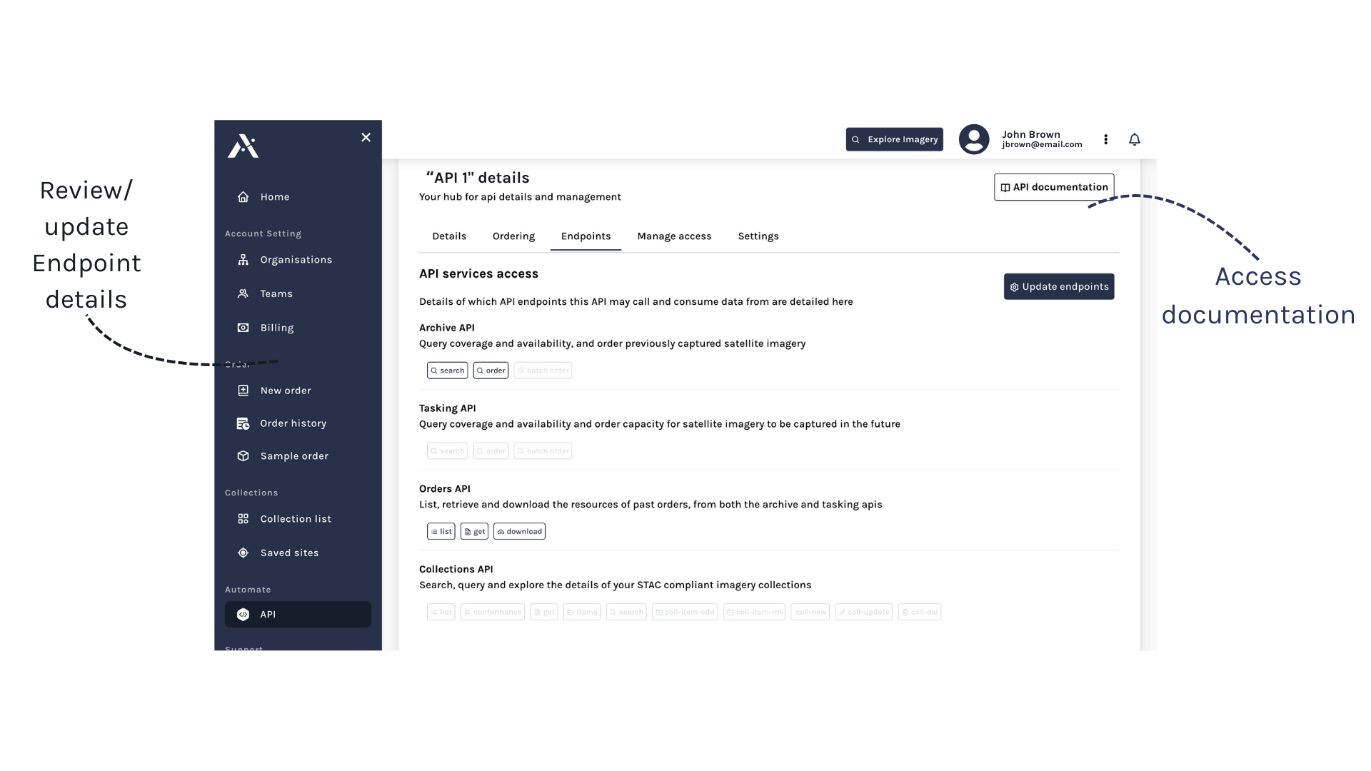
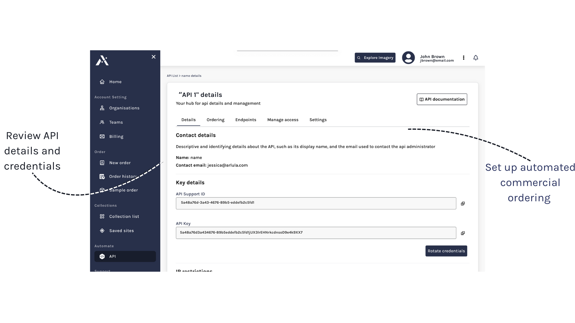
APIs seamlessly connect your satellite mission to your customers. With Arlula’s comprehensive suite of endpoints, your customers can easily search, share, and purchase imagery data without requiring manual intervention.
API Documentation
How can we help you?
If you’d like to learn more about Arlula’s API products, please connect with us via the form below and we’ll be in touch.