Automation Workflows
Streamlined EO Data Workflows with APIs.
Scale and accelerate with automation workflows
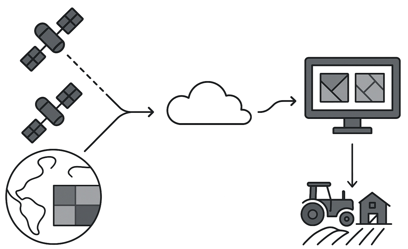
Today, satellite operators and end users face a fragmented and manual process for accessing, managing, and automating satellite imagery workflows. The challenge is to provide a unified, API-first platform that enables seamless programmatic access supporting everything from new tasking requests and archive retrieval to monitoring and automated fulfilment while remaining flexible enough to deploy across private cloud or secure on-premise infrastructure. Arlula solves this.

GeoStack solves this challenge by providing an API-first platform that automates every stage of the satellite imagery workflow from tasking and archive retrieval to monitoring and fulfilment, while offering flexible deployment across private cloud or secure on-premise environments.
APIs, Automation & Cloud Services
GeoStack is an API-first software platform designed to provide seamless programmatic access to satellite data and imagery tools. This makes it easy to customise and integrate into your existing workflows.
Deployment Options
Core APIs
Learn more about Arlula’s Automation Workflows
Enter your details below to be be given a download link for the Blueprint.


