NSPO Satellite Imagery
The National Space Organization (NSPO) is the national civilian space agency of Taiwan and are operators of the KOMPSAT remote sensing satellite series. Their Earth observation satellites offer high resolution panchromatic and multispectral imagery products at very affordable pricing. With their first launch occurring in 2004, they offer a unique imagery archive with a variety of potential use cases.
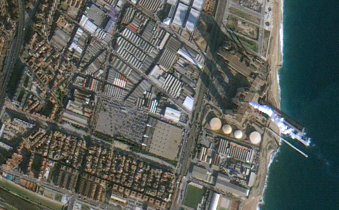
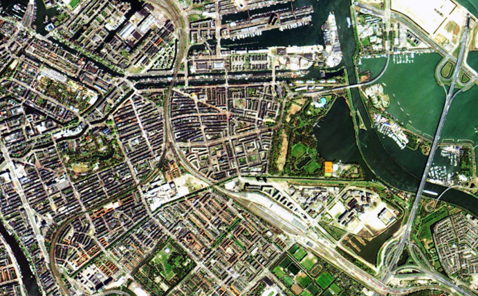
FORMOSAT-2 was the first Taiwanese EO satellite. It offers high resolution 4 band imagery(blue, green, red & near-infrared) at very affordable rates.
Sensor: Panchromatic and 4 band multispectral.
Resolution: 2m (pan) and 8m (ms).
Use cases: Mapping, environmental planning.
Revisit frequency: Daily.
Pricing: From $1.60 per sq km.
File type: Bundled GeoTIFF.
Status: Decommissioned – archives available.
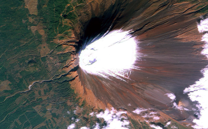
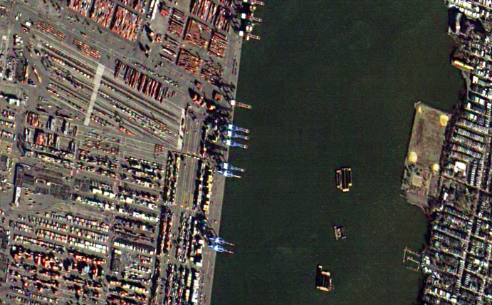
The high resolution FORMOSAT-5 satellite was launched in 2017. It continues the tradition of quality Earth observation imagery at very affordable prices.
Sensor: Panchromatic and 4 band multispectral.
Resolution: 2m (pan), 4m (ms)
Use cases: Mapping, environment, monitoring.
Revisit frequency: 2 days.
Pricing: From $1.60 per sq km
File type: Bundled GeoTIFF
Status: On orbit – new collections & archive available.


